How long will the clouds of smog last? It’s complicated

The Northeastern and mid-Atlantic U.S. is entering its fourth day blanketed in sepia-toned haze from wildfires in Canada, and experts say much of the fog could persist into next week, with parts of the upper Midwest expected to be impacted as well.
Throughout Wednesday, nightmarish images of the smoky skies in New York City spread on social media as the city topped lists for the world’s worst air quality, and there appeared to be little relief in sight Thursday. In the morning, the Federal Aviation Administration briefly delayed flights into New York’s LaGuardia airport and New Jersey’s Newark Liberty International Airport due to the smoke.
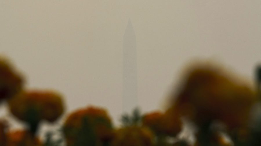
Washington, D.C., meanwhile, elevated its air quality rating to Code Purple on Thursday, indicating the air is unhealthy for everyone, rather than just those with respiratory vulnerabilities. The National Zoo closed its gates, and photos show the haze rendering the Washington Monument all but invisible.

The Washington Monument is seen through the haze from the Iwo Jima Memorial in Arlington, Va., on Thursday, June 8, 2023. The Air Quality Index was at 241 in Arlington, Va., at 9 a.m. as wildfire smoke from Canada continues to come down through the East Coast. (Greg Nash)
The haze is drifting south into the U.S. from large wildfires in Quebec and eastern regions of Canada, a shift Zack Taylor, a meteorologist with the Weather Service in College Park, Md., says is being enabled by “[t]he weather pattern we’re currently in.”
“The weather pattern isn’t going to change too much over the next couple of days,” Taylor says, “but going forward, [there is] potentially a pattern change by early next week.”
Officials in New York have said the haze will likely persist for the next few days but concede it’s difficult to say with precision. Experts say it’s unlikely the haze will lift until there is either a change in the weather or the fires are fully extinguished.
“There’s a low-pressure system over the Nova Scotia area that’s causing the movement of winds to flow in a counterclockwise direction. That’s really been a stagnant low-pressure system, and it’s been sitting there for the last couple days without moving,” said Susan Anenberg, Chair of the Environmental and Occupational Health Department at the George Washington University Milken Institute School of Public Health.
Related coverage from The Hill:
- Here’s how you can check the air quality where you live
- Should you run your air conditioner when it’s smoky outside?
- How to keep yourself safe and healthy despite the air warnings
- Which mask is best for wildfire smoke?
Forecasts indicate that system could move in the days ahead, she added, but also indicate the low air-quality conditions will likely persist into Friday.
“As long as the fires continue to be large and uncontained and active, they’re going to continue to generate smoke,” Taylor said.
The fires may be hard to predict due to them developing somewhat earlier than the typical Canadian fire season, he noted.
“Typically we see these things develop … more into the deeper part of summer,” he said. “What’s happening in Quebec is pretty unusual in terms of the scope and the magnitude of the fires.”
Wind direction also plays a role in determining where the smoke travels, Taylor added.
“The worst of the air quality appears to be portions of the mid-Atlantic,” with portions of the Ohio River Valley also affected, he said, but in the days ahead, “it’s possible some of the smoke from the fires in western Canada may be transported across the upper Midwest.”
The impact of weather on the smoke means some pockets of the East Coast, primarily in New England and upstate New York, have been largely unaffected so far, according to Taylor.
“The weather system has effectively created a little bit of a hole where the smoke hasn’t been able to get into it,” he said, and that “allows the air to be clearer, keeping the smoke from collecting.”
The haze will persist in the East for “probably another day or two, according to the forecast,” said Neil Donahue, director of the Steinbrenner Institute for Environmental Education and Research at Carnegie Mellon University. Other than wind shifting the direction of the smoke, “the way these fine particles leave the atmosphere is they get washed out by rainfall,” he added, pointing to forecasted storms in the Pittsburgh-area Monday.
“Aside from that, if there’s a fire at that distance, it’s a question of the wind direction, and obviously the fire has to be burning,” he added. “In the coming days, Saturday, Sunday, the winds are shifting around. By the weekend, we’ve got southerly winds, and so we would see nothing from northeastern Canada.”
Copyright 2023 Nexstar Media Inc. All rights reserved. This material may not be published, broadcast, rewritten, or redistributed. Regular the hill posts


