Where do floodwaters come from? This map shows you

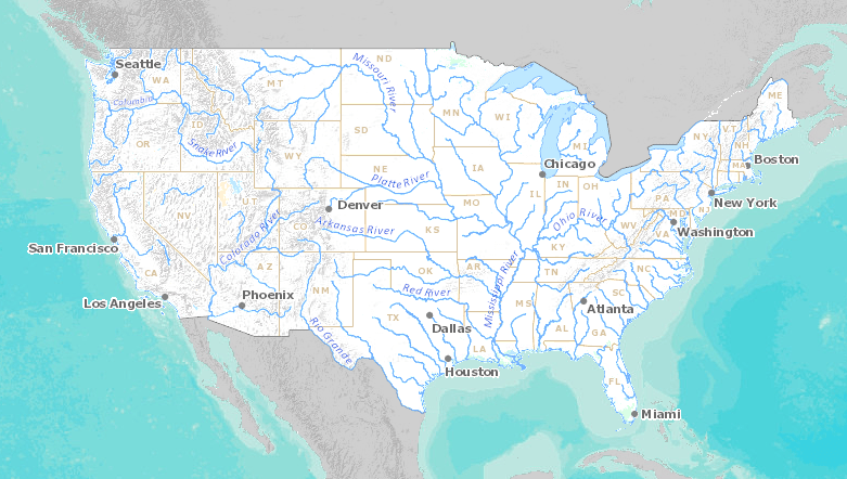
(NEXSTAR) – If you’ve ever wondered where all that water travels from before it reaches your local river or creek, the interactive Streamer tool from the U.S. Geological Survey helps you visualize it.
Search for your city and you’ll be able to see the creeks, rivers and lakes near you. With a click, you can “trace upstream” to see all of the waterways that feed down to that point, or “trace downstream” to see where the water is headed.
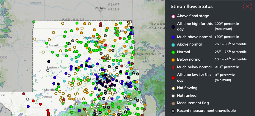
For those dealing with widespread flooding in the southern U.S., for example, real-time conditions might be more helpful.
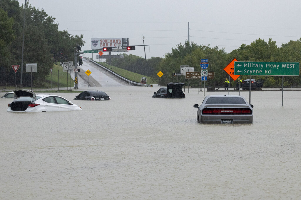
The USGS’ National Water Dashboard shows where there is currently flooding or record-breaking water flow. On Monday, the Dallas-Fort Worth area, which has been dealing with extreme flooding after the weekend’s monsoon rains, has numerous “streamgages” reporting flooding and all-time high water flow.
A powerful storm system brought widespread flooding to a number of states over the weekend, leaving neighborhoods underwater and causing flash floods that imperiled national park visitors.
The deluge overwhelmed the banks of rivers and streams in Utah, Arizona, Texas and New Mexico.
Though much of the region remains in a decades-long drought, climate change has made weather patterns more variable and left soils drier and less absorbent, creating conditions more prone to floods and monsoons.
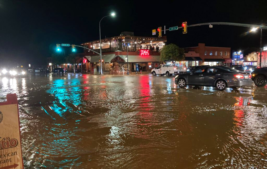
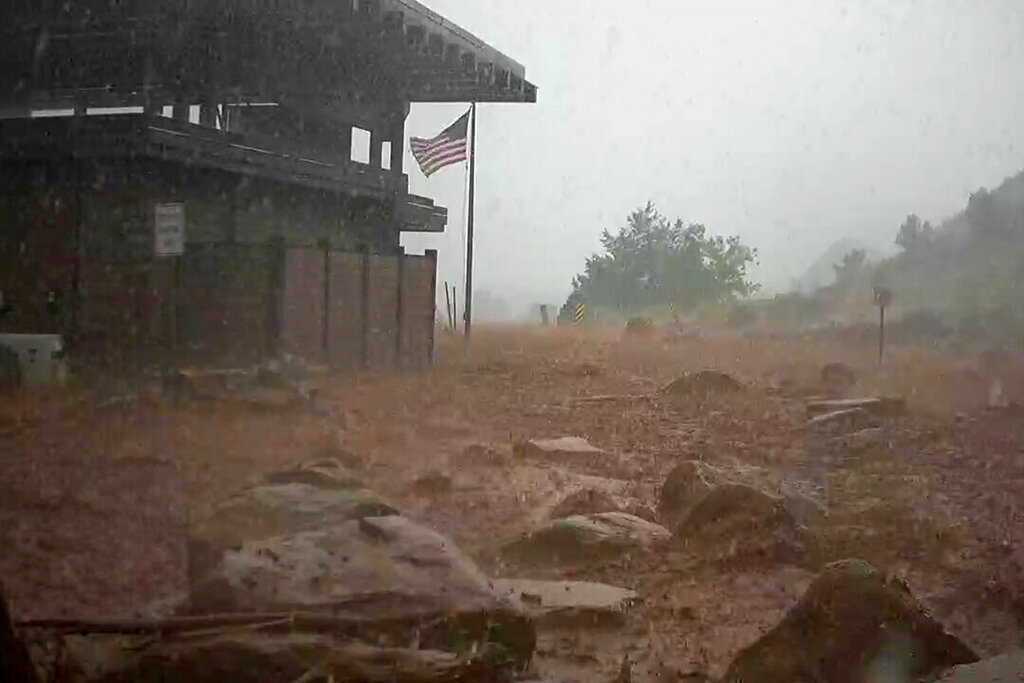
Flooding has swept parts of southern Utah in and around Moab and Zion throughout the summer, causing streams of water to cascade down from the region’s red rock cliffs and spill out from the sides of riverbanks.
An Arizona woman was still missing Monday after being swept away at Utah’s Zion National Park three days earlier as flooding surged through the southwestern United States and imperiled tourists visiting the region’s scenic parks.
In Balch Springs, a Dallas suburb where last month a grass fire that started in a tinder-dry open field damaged over two dozen homes, officials on Monday were rescuing people from flooded homes.
“The water has nowhere to go and the creeks are starting to kind of flood over some. We’re just having them hunker in place until we can get to them by boat,” said Fire Chief Eric Neal, who did not yet have a count of the number of rescues done.
The heavy rain and flooding across the southern U.S. is expected to continue Tuesday and possibly Wednesday as the storm system makes its way into the Lower Mississippi Valley and South, according to the National Weather Service.
The Associated Press contributed to this report.
Copyright 2023 Nexstar Media Inc. All rights reserved. This material may not be published, broadcast, rewritten, or redistributed. Regular the hill posts

